
- Home |
- Research Projects
Research Projects
Implementation Plan for the Red Bud-Catalpa Creek Watershed Phase 1
Loren W. Burger; Richard B. Ingram; Joby M. Czarnecki; Timothy J. Schauwecker; John J. Ramirez Avila; Leslie M. Burger; Beth H. Baker
A phased implementation approach is planned for habitat and water quality restoration and protection activities in the Red Bud-Catalpa Creek Watershed.
Phase 1: Headwaters – South Farm
- Solicit resources and implement Phase 1 agricultural BMPs;
- Upgrade nonstructural management practices, where needed, to improve water quality and ecosystem health;
- Conduct hydrologic analysis (field measurements, modeling), if funding available;
- Conduct monitoring (pre- and post-implementation); and
- Implement education and outreach.
Headwaters – Urban Areas
- Engage and advance, where possible, collaborative Master Planning activities and Catalpa Creek restoration and protection activities with MSU and the City of Starkville; and
- Engage the City of Starkville and Oktibbeha County to address storm water issues.
Broad Watershed (HUC #031601040601)
- Solicit resources and finalize implementation plan; and
- Assimilate and integrate multi-disciplinary data sets.
Catalpa Creek Restoration
Water Resources Management Plan for the Red Bud-Catalpa Creek Watershed
Implementation Plan for the Red Bud-Catalpa Creek Watershed Phase 1
Developing Bankfull Regional Curves: A First Step to Restore Streams Functionality in Mississippi
John J. Ramirez Avila, Sandra L. Ortega Achury, James L. Martin, Bradley Richardson
A long term stream assessment and restoration program is needed in Mississippi and developing Regional Curves is a critical first step toward achieving this goal. This project aims to provide validated tools to aid practitioners and Federal and State agencies in the design, evaluation and implementation of more effective stream and wetland restoration and mitigation projects in Mississippi. Main goal and project tasks will be achieved by using a combination of methods including remote sensing, field reconnaissance, detailed data collection, laboratory analysis and modeling. Project tasks include identification of stream reference reaches to conduct geomorphological and biological assessment and surveys within the Tombigbee River Basin, a representative area for the East Gulf Coastal Plain Physiographic Section and the Coastal Plain Physiographic Province in MS. Geomorphic and biological surveys will be related to drainage area to develop the Regional Curves and biological community references, respectively. The new tools are expected to improve stream assessments and designs increasing the effectiveness of stream restoration projects.
Assessing and predicting in-stream processes in the Catalpa Creek Watershed
John J. Ramirez Avila, Sandra L. Ortega-Achury, Eddy J. Langendoen, Tim Schauwecker, James Martin, Joby Czarnecky
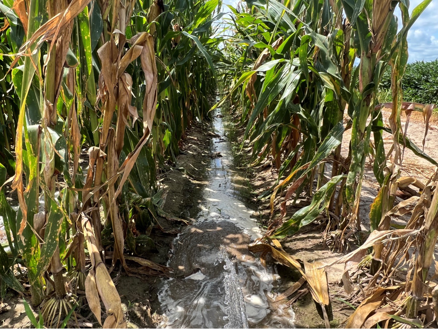
Excessive erosion and the transport and deposition of sediment in surface waters are major water-quality problems in Mississippi. Researchers in the state have shown that a significant portion of sediment loads exported from the watershed is contributed by streambeds and mostly from active unstable streambanks. The main channel of the Catalpa Creek has been listed as Impaired due to sediments from headwaters to the outlet.
The Water Resources Management Plan for the Red Bud-Catalpa Creek Watershed was formulated to restore and protect the ecosystem health, ecosystem services and quality of life, and water resources within the watershed; and create experiential learning activities for students, educators, and practitioners. To develop remedial measures and future BMPs within the Catalpa Creek Watershed for reducing water quality impairment, and a stream restoration design to improve stream morphology, biological integrity and function of the main stream and tributaries, it is necessary to identify stressors, sediment sources and loads currently transported, and critical zones for upland and in-stream management and/or restoration within the entire watershed.
Hypothesizing in-stream processes are important mechanisms driving sediment supply into the streams and an important portion of the sediment budget for the Catalpa Creek Watershed, this research is focused on the identification, assessment, evaluation and prediction of in-stream processes within the study watershed. To address the research objectives three sub-studies are undertaken using a combination of methods including field reconnaissance and detailed data collection, laboratory analysis, and channel modeling. Modeling results can help to determine critical areas to be potentially considered for future management and restoration activities, as well as to optimize a design for a desired outcome and to understand what results might be expected.
Project results will be transferred to a broad group of academic, technical and research stakeholders, supported in collaboration with private, federal and state agencies.


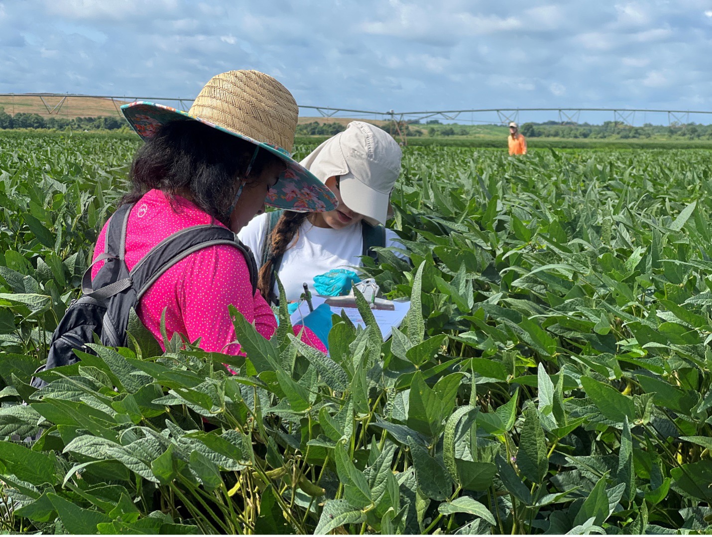
Targeting the implementation of BMPs to reduce non-point source pollution from grazed fields within the Catalpa Creek Watershed
John J. Ramirez-Avila, Martin Locke, Sandra L. Ortega-Achury, James L. Martin, Larry Oldham
The Catalpa Creek Watershed is located in Oktibbeha and Lowndes counties in the northeast region of Mississippi and is part of the Tombigbee River Basin. Current land use includes 44% in hay production/pasture land, 10% in cultivated crops, 9% in developed land, and 8% in wetlands or open water. The Catalpa Creek has recently been listed as biologically impaired with a Total Maximum Daily Load (TMDL) established for sediments and pathogens. Monitoring studies showed that phosphorus and nitrogen were present in excessive amounts in the Tibbee Creek, of which Catalpa Creek is a tributary.
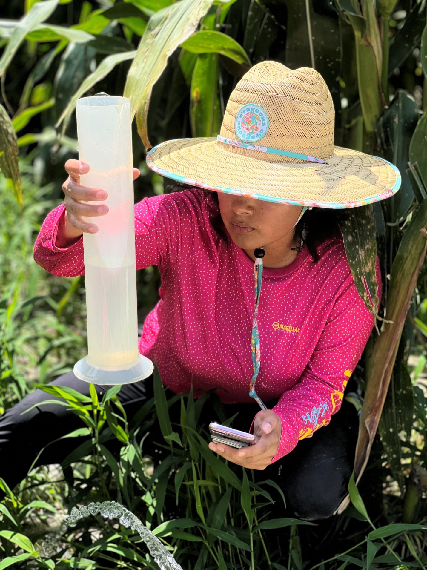
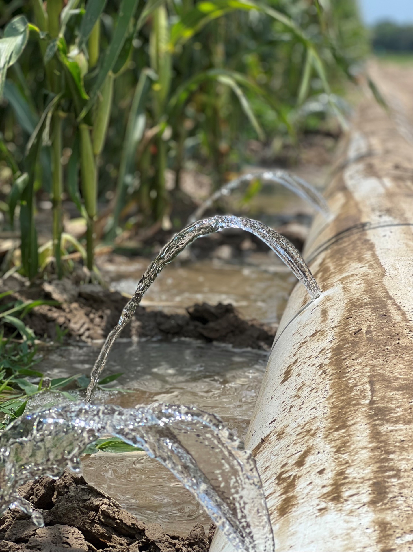
Development of remedial measures and future BMPs for grazed fields within the Catalpa Creek Watershed for reducing water quality impairment requires identification of sediment sources and loads currently transported within the watershed. After completing a field and GIS assessment, different fields, which directly contribute runoff to the main stream channel of the Catalpa Creek, were identified as critical source areas for erosion and nutrient loss control. Currently, information about the amount of sediments, nutrients or pathogens contributed by the fields to the stream is unavailable, but grab sampling datasets along the main channel of the Catalpa Creek have demonstrated that the reach receiving runoff flow from the identified fields presented high concentrations of sediments and nutrients.
A joint effort between Mississippi State University and the USDA-ARS National Sedimentation Laboratory aims to identify and implement adequate management practices that properly reduce non-point source pollution from grazed fields in the Catalpa Creek.
The study objectives are i) to quantify and predict edge of field concentrations of sediments and pollutants in runoff and mass losses from grazed pasture fields at current and simulated scenarios with implemented management practices; ii) identify and implement management measures for soil and water conservation in the fields; and iii) assess and predict sediment and nutrient loads reduction after the management practices are implemented.


Developing Sustainable Production Systems that Improve Water Resources in the Lower Mississippi River Basin
John J. Ramirez Avila, Sandra L. Ortega Achury, Martin Locke
Applied use of unmanned aerial vehicles in surface water quality protection
Joby Czarnecky, John J. Ramirez-Avila
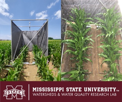
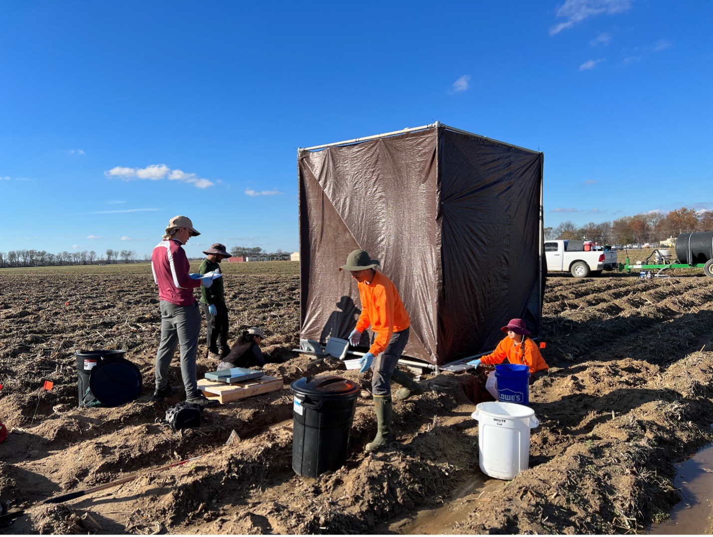
Erosion represents a significant detriment to Mississippi’s surface waters, as a source of both chemical (i.e., phosphorus) and physical (i.e., sediments) pollutants. Accordingly, erosion control will be necessary for maintaining the quality of Mississippi’s surface water resources, and identifying and monitoring erosion in critical areas will enable stakeholders to better manage the State’s water resources by addressing a key source of degradation. The objective of this research is to evaluate the accuracy of erosion calculations derived from Structure from Motion (SfM) captured with unmanned aerial vehicles (UAVs). The research project will combine results from SfM assessments of erosion with ground-truthed measurements of erosion to determine the accuracy of this approach for use in calculating erosion values, and extend this approach to evaluate the ability of SfM to monitor erosion over time. Derived values will be incorporated into existing models (e.g., BSTEM, CAESAR-Lisflood) to determine if SfM data are a valid model input. Data will be collected from Mississippi State University owned and managed research properties where significant erosion has been identified; some of these sites are within an EPA-designated 319(h) priority watershed.
The result of this research is a scientific validation of the accuracy of erosion calculations derived from UAV-collected SfM assessments. When used appropriately, UAVs have the potential to enable rapid assessment of landscapes with reduced labor costs. The research serves as a proof-of-concept project to develop a method by which UAVs could be employed to identify, quantify, and monitor erosion in drainage channels and other eroded areas. This would enable federal, state, and local agencies to utilize this technology to more efficiently monitor, remediate, and regulate degradation of surface waters. Outputs from this research project include transfer of information on the appropriate data collection strategies for UAV-based SfM assessments, as well as best practices, along with methods, estimates of accuracy, and any necessary cautions. This data will be communicated to stakeholders through scientific exchange and interaction, in addition to the established University Extension network.
Structure from Motion with Unmanned Aerial Vehicles. A Best Practices Guide for New Users


Demonstrating and enhancing risk assessment tools to determine efficiency and cost-effectiveness of innovative nutrient reduction strategies in the Mississippi Delta
John J. Ramirez-Avila, Sandra L. Ortega-Achury, Larry Oldham, Roberto Gallardo-Estrella
This project was intended to test and validate existing risk assessment tools and new developed components on risk assessment tools, to demonstrate their accuracy in assessing the magnitude, extent and risk of soil and nutrient losses, and their utility to facilitate decision support for water quality and quantity improvement and cost-effectiveness of conservation practices at field and watershed scale in the Mississippi Delta. It considered results from demonstrations conducted in different active agricultural production fields in the Big Sunflower River Basin and the Upper Yazoo River Basin (MRBI priority watersheds) within the Lower Mississippi Alluvial Valley, commonly referred to as the Mississippi Delta.
The project was part of the USDA-NRCS Conservation Innovation Grants- CIG initiative. It involved the participation of a multidisciplinary group of researchers and extensionists with appointments in institutes and departments at Mississippi State University collaborating with researchers from the USDA ARS National Sedimentation Laboratory.


Refine and Regionalize Southern Phosphorous Assessment Tools Based on Validation and State Priorities
Deanna Osmond, Andrew Sharpley, David Radcliffe, Carl Bolster, Larry Oldham, John J. Ramirez-Avila
The objective of the project was to coordinate and advance P management in the southern region by ensuring that most southern P assessment tools have been tested based on guidance in the 2011 NRCS 590 standard and compared to water quality data, and that these tools produce more consistent results across physiographic regions in order to promote greater similarity between southern state P Index ratings and recommendations.
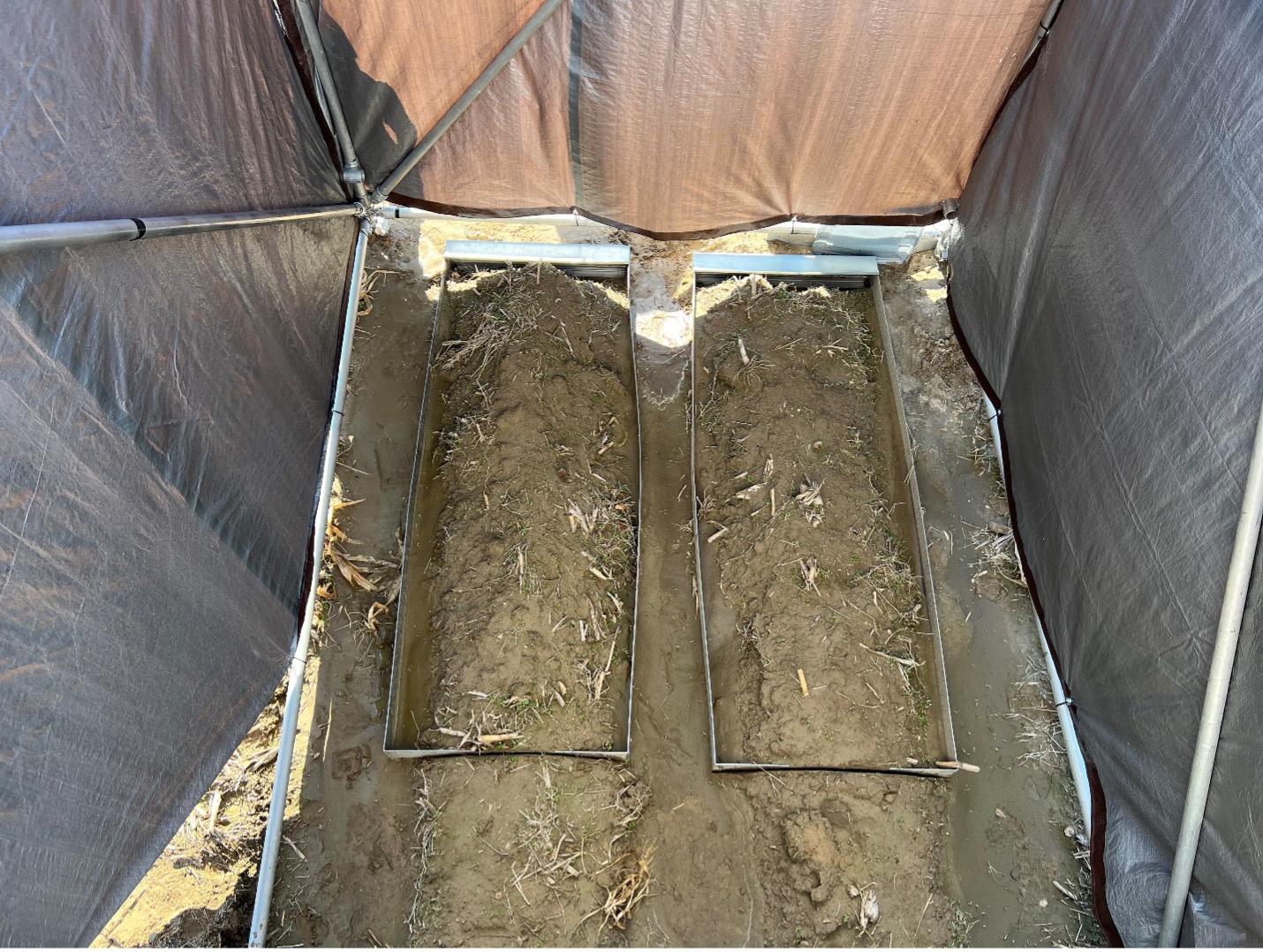
Demonstrating Phosphorus Absorbance in a Slag/Biochar Bioreactor Design for the Treatment of Stormwater Runoff
Our project evaluates a conservation practice that reduces surface runoff as well as erosion, while also removing available runoff P. The project is executed to quantify the impact on water quality and habitat diversity of a slag and biochar bioreactor that works in numerous agricultural and urban stormwater runoff scenarios: 1) independently to arrest gully erosion; 2) as a forebay in a larger treatment wetland system; or, 3) as an urban best management practice for filtering excess P from fertilized plant communities, such as managed turf systems and urban wastewater.


